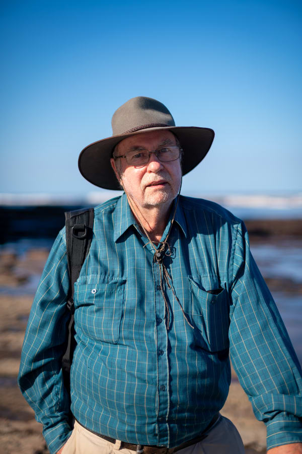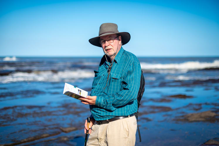
Bulli local Geoff Whale tells us about his new guide, Northern Illawarra Beachwalks.
Please tell us a bit about yourself.
My wife and I moved to Bulli from Botany in 2021. Semi-retired from an IT business analyst role at UNSW after 35 years as an academic, I found working remotely in such a relaxed environment so much preferable to the bustling eastern suburbs of Sydney.
I’ve been a bushwalker through later adult life, and with a young family in the late 1990s spent many summers on day walks in Kosciuszko National Park. The official walking brochures lacked detail (and proper maps), so in 2003 I self-published Family Bushwalks in the Snowy Mountains, which has sold over 3000 copies.
My favourite place is the mostly trackless alpine region east of the Main Range, a remote landscape of wildflowers, imposing peaks, majestic granite formations and pristine mountain streams.
Key elements of the book are the detailed topographic maps, assembled using custom software, GPS tracks and licensed geoscience data.
Where did you learn map-making?
As a lecturer in Engineering I would try to convey techniques for transforming raw data into information that improves people’s lives in some way. That applies very much to geographic data, and newer ways of presenting maps make the publication process relatively straightforward.
What does your booklet cover?
It identifies typical walking conditions along the coast from Stanwell Park to Coniston, plus Otford to Bald Hill and the Sea Cliff Bridge; it discusses tides and hazards; it lists points of interest and nearby cafés. It’s for locals and visitors alike.
What inspired you to produce it?
Like most Sydneysiders, I knew little about the Illawarra coastline and what makes it special. I soon came to appreciate the Illawarra geography, with its stretches of beaches joined by rock platforms, compared to the high headlands and often crowded walkways of coastal Sydney.
Long, contiguous journeys beckon; and since bushwalkers dislike out-and-back walks, there’s the train line for the return leg, an easy 10- or 20-minute walk from any beach.
Producing a compact, information-rich booklet seemed an obvious step. It should encourage planning a route that makes effective use of low-tide accessibility, while emphasising safety and hazard awareness.
What’s the best part of writing a local guide?
You get to explore beyond just the obvious routes. For example, there’s a surprisingly remote feel to the rugged coast north of Wombarra, where you can find the historically popular “ghost” rock pools such as Doctors Pool (still extant) and Clifton pool (remnant). This is the most difficult of the walks, mostly on boulders with a steep scramble at Clifton.
What were the most challenging aspects?
Striking a balance between recording what’s likely to be encountered months ahead, while acknowledging that seas and weather will alter the beachscape. Have I emphasised risk awareness enough (such as taking the headland alternative when the route ahead is awash or looks unsafe) without discouraging moderately fit people from enjoying the full experience? Should I deter walkers from visiting the unfenced Sea Cliff Bridge lookout? (I haven’t, but there are warnings.)
What did you learn?
Tides, it’s all about tides. Many of the rock shelves are just below mean sea level, so they’re only passable for a few hours each day. The Illawarra Flame’s tide summary is OK for planning, though smartphone weather apps’ full daily tide profiles are more comprehensive.
Northern Illawarra Beachwalks is available for the price of a coffee from Collins Thirroul, Southern Gateway, or Bushcraft Equipment in the city, or order online at bcw.grwpub.info. Email grw171@gmail.com