Former Kiama mayor reenergises vision for iconic escarpment walk to rival anything in the world
"Our vision is to create a spectacular, iconic walking track which would rival any other in Australia.” It's now more than 50 years since former Kiama mayor and prominent community volunteer Neville Fredericks first heard of the vision for...

"Our vision is to create a spectacular, iconic walking track which would rival any other in Australia.”
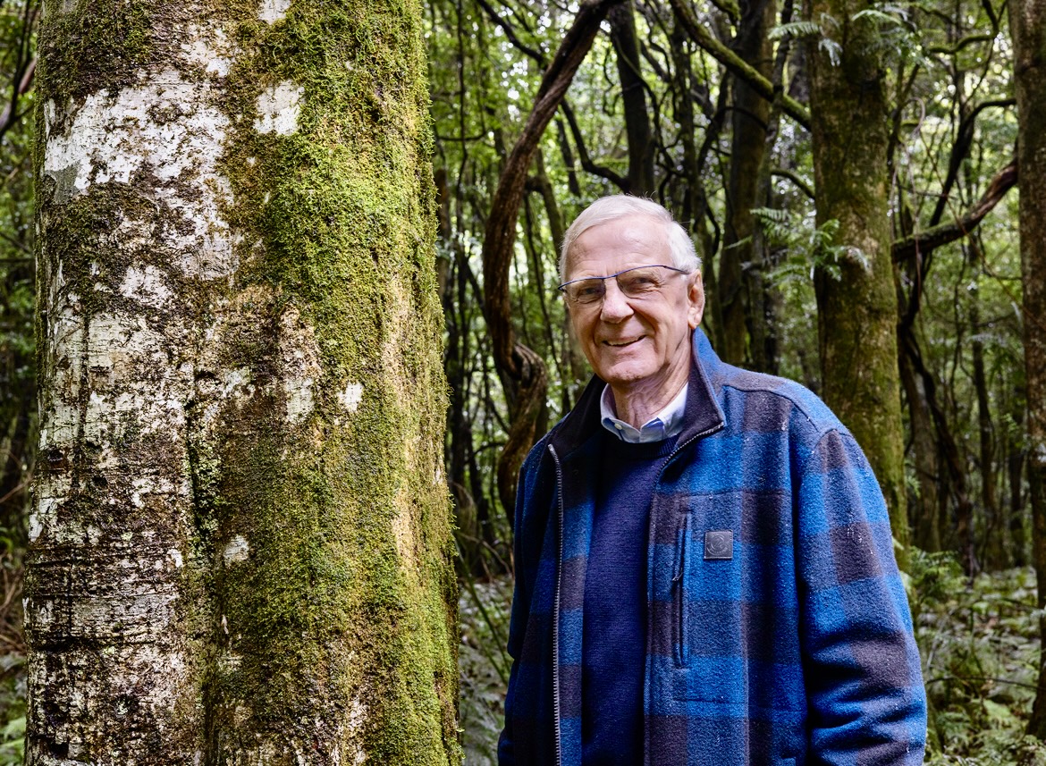
It's now more than 50 years since former Kiama mayor and prominent community volunteer Neville Fredericks first heard of the vision for a walking track along Illawarra's escarpment linking the famous Royal National Park in the north with the magnificent Cambewarra Mountain, more than 150 kilometres to the south in the Shoalhaven.
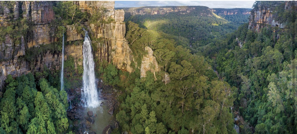
The name Wollongong (Woollyungah) translated from First Nations' language means 'mountains to the sea' and the epic track would provide walkers with an "unforgettable journey", taking in some of the best views of the Pacific from dozens of vantage points along the Illawarra escarpment that towers above.
"From my experience, and I've walked many of the top 10 walks in Australia, this trek would easily be ranked as one of our nation's best walks," Neville said.
"We're looking at a walk truly of international standard which would be a major drawcard to hikers from everywhere."
A significant commitment to date
The NSW Government has already committed well over $30 million to establish the Great Southern Walk, a 67-kilometre trek starting at Kamay Botany Bay National Park and through the Royal National Park on Sydney's outskirts. Track upgrades at Wattamolla Beach, Burning Palms and Otford are expected to be completed in the middle of this year. Planning for a new track connecting Otford Lookout to Bald Hill is now underway.
Further south, the Illawarra section of the walk, the Wodi Wodi to Forest Path section is nearing completion and is expected to be open by the end of the year. Helicopter operations were required to transport materials into this rugged area, and these precision drops into the dense bushland have now been completed, allowing work to continue on the ground.
Weather permitting, the NSW Government says works on the trail between Maddens Plains on top of the escarpment and the Bulli Gateway Centre at Sublime Point should be finished in the next six months.

Many decades in development
Welcoming the commitment of governments to date, Neville and a small enthusiastic group of volunteers are championing an extension of the walk, a further 82 kilometres to the south. They've named the walk the Illawarra Escarpment Track and the concept isn't new.
"The idea first surfaced in 1971 when the late David Walsh from the South Coast Conservation Society introduced me to the idea of a grand escarpment walk," Neville said.
The new track would extend from Sublime Point above Austinmer, and along the rainforest bench below the cliff line and above Balgownie and Mount Pleasant west of Wollongong. From there, it would cross the highway before climbing again above the University of Wollongong to Mount Keira.
"Many of these areas are currently riddled with informal walking and cycling tracks and the bushland will benefit by the creation of one formal trail," Neville said.
Linking two ancient Wollongong landmarks
The track would continue south, providing a link between two of the most significant Indigenous landmarks in the region, Mount Keira (or the grandmother mountain Djeera) and Mount Kembla (the grandfather mountain Djenbella), then passing through a variety of plant communities behind West Dapto and on to the cliffline framing Calderwood Valley. East of Robertson are some of the most attractive sections as they include waterfalls and distinctive rainforest communities.
A study commissioned by the NSW Government in 2019 confirmed that 42% of the total route is in good condition and can use existing walking tracks.
"The remaining 58% of the proposed trail would require planning and feasibility analysis to produce a track that is enjoyed by all visitors," the report said.
The study concluded there was overwhelming support for the project from a range of stakeholders, including local and state politicians, state agencies, local councils, Indigenous groups, business and tourism leaders, special interest groups and the broader community.
Despite all that support, Neville Fredericks and his team say the Government has not yet given formal endorsement to the concept of an extended escarpment track to Cambewarra Mountain.

The ball is now with our politicians
"This is where visionary political leadership is needed. Without that, it's very difficult to encourage the bureaucracy to support these exciting ideas," Neville said.
"We believe we're on the edge of getting approval, but we are at the pivotal point right now. We need our politicians to embrace the vision as state policy. That will be the catalyst to take it forward and make it happen.
"Once the vision is formalised, track sections would likely be developed over a number of years as resources became available."
A track for people of all abilities
"We see the track being broken up into 13 to 15 walking segments, each with varying degrees of difficulty. That means there'll be a chance to walk a section of the trail suited to every person's capability. We see it as important that at least one section of the track will cater for everyone, including people with a disability."
Despite the more than 50 years of negotiations, studies, discussions and delays, Neville refuses to give up on the vision to create a new tourist and lifestyle icon for the region.
"Nowhere in Australia can you have an experience like this, travelling up, down and along sheer sandstone cliffs and under cliff rainforest benches so close to the ocean, with spectacular waterfalls looking down on river valleys, and a series of vistas as you make your way along the escarpment.
"Our team is optimistic that one day it will come. I would like it to be sooner than later, and before I fall off the perch."


